I'm using the 'getting L.O.S.T.' thing because lostjeeps.com is the first site I came up with when searching for info on my Liberty.
I took another camping trip to my favorite part (so far) of Washington State. The Naches Ranger district of the Wenatchee NF. Since my last trip back in June, I have had to work on my deck for part of July, get sick, in August go on a very gruelling fishing trip to Alaska, re-cuperate, work on my deck through Labor day weekend, attend a trade show the next weekend, which brings me the weekend about which this trip is written. With having to pretty much work through the previous two weekends, I decided to make this a three day weekend. I took off early from work on Thursday afternoon, but didn't actually get out and on the road until about 3PM. I was wanting to go meet & greet with CEG of easternwashingtonadventures.com but our timing just didn't fit. So I spent that first night up on top of the rock that overlooks Rimrock lake, then the next day went up Bethel Ridge stopping at Timberwolf Mountain, then through Nile and ended up the next night just to the west of Naches Pass on the Naches trail. The following day, Saturday, I went back down to Whistlin' Jacks in Cliffdell, WA to re-supply and then just took it easy wandering about above Cliffdell/Nile on FR 1706 and FR1600 (and some of its tributaries) ending up at an easy camp right by FR1600 and FR220.
So without further ado, here's my pictures.
This is heading up past the Wildcat post piles on my way to a site that I think is totally awesome on top of the rock that looks out over Rimrock lake:


Part of the last stretch up to the top:

Obligatory (to me) Ponderosa picture:

A couple of the views from the top at my favorite site:


This one might be hard to view, it's one of those 360 degree pano's I can take with my phone:

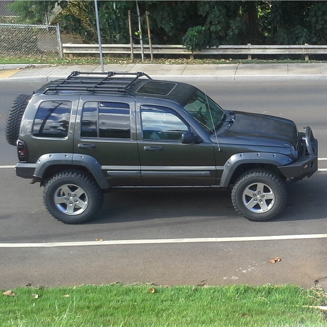
And finally, for you rock crawlers, here's my poser shot, lol:

Maybe a new avatar pic? Actually it was to level my 'RV', lol.
The next day, Friday I set off to head up Bethel Ridge for Timberwolf Mountain and ended just to the west of Naches Pass. I stopped at the Rimrock store first for supplies.
Random pic along the way:

After taking the turn off on FR1500-190 to Timberwolf Mountain I found some nice meadow shots, love them meadows:


Not the best shot, but I did stop for a quick picture of the cabin below Timberwolf:

And on top of Timberwolf mountain:


The "Big Fella":

The signs:


On the way up to the top I passed this little vehicle parked on the side of the road; a little further up the road there was a lady and a gentleman walking to the top. I felt bad because the lady was using a cane; I slowed while they walked a bit further and then got to the side of the road while I drove up. At the top the gentleman and I had a conversation about my 'little' Jeep. Appears they couldn't make it and that's why they had to walk to the top. Hey, what could I say but, "Some are Chevy men, some are Ford men, I'm a Jeep man." Not every Jeep owner is a hardcore rock crawler, but anyone that wants to go to remote places should drive some sort of Jeep instead of one of these:

Onward further down Bethel Ridge road (FR1500) here's a picture of this rock outcropping; don't know the name of it:

And then they were having a controlled burn on FR1500:

Afterwards, I got down to Hwy410 and headed north, but hit the Old River road for a couple more. Tight spaces:

A river (the Naches) runs right by it:

Another cool rock outcropping on Old River road (FR1704?):

I had to briefly join Hwy410 just north of Cliffdell, then I went on up FR19. Mostly pavement along here, so not too many pictures worth posting. I also had a paper map, but hey, three nav devices are better than one. Two that were not paper:


After the pavement ends on FR19, it goes a little further and dead ends. One has to take a right on FR1914 to get to the road to Naches Pass. Mmmm, back on the dirt looking for the way to Naches pass:

A couple of the views on the way up:


Here I saw 4W684 which was probably the more direct route to Naches Pass, but wasn't signed as such:

Since I was solo, I passed on that one (chickened out) and continued on up FR1914 and took another left turn on FR789 since it looked like it would get me there. The Nav devices showed it would head right towards the pass and Government meadows. But it dead ended instead and I had to back track to FR1914 until I got here and took this turn on what I believe is FR799:

FR799? on the map looks to dead end, but there were a lot of roads that branched off of it but I kept following my GPS map (not navigation) to take the turns towards Naches Pass. Finally, it looked to intersect with 4W684 (as there was a crossroad) and I took the turn to the right. And then it started getting fun:

And more fun:

Even funner:

Cool thing about the Naches Trail is that in places where the FS decides you shouldn't drive across sensitive areas, they put in a few bridges of sorts:


Mmmm, meadows:


Finally, at the top:

And now the road gets really good. Narrow, full of ruts, a few rocks, and tree roots. Little Burro and White Rabbit (virtualjeepclub.com), you guys would have been proud of me. Picked all the right lines and didn't bump once. Here I go:


There were a couple of places I was checking to see if I should fold my mirrors in, but didn't even bump them either:


This little puddle was pretty soft but nothing like the bottomless pits you find up in the high country of AZ (I also had to rep VJC here):

Another 'bridge':

Finally I had enough and decided to just pull over to the side and camp. I knew Government meadows was close, but my paper map had it one place, my google terrain via Oruxmaps on my cell phone had it another, and I can't remember if my Garmin showed it at all. That is why I posted pics of my Nav devices. It seemed as though none could quite agree where anything really was (including my paper map), none could quite agree on what roads existed or not. But I now know from experience. I wanted to get to Government meadows and I'm sure I was close, but I was hungry and knew what I may have coming to me in the morning getting back up over the pass in my stock KJ. After getting camp setup and started, I could hear some folks further down the road. A couple of bikes went by and then I heard some engines start and two well lifted with oversize tire Jeeps went by going uphill, one a JK(?) and the other a XJ. We waved. Then I couldn't help myself so I clicked on my CB and found them talking about someone with 120 days of vacation and then complaining about those who can take 120 day vacations and them who have to buy lots of Jeep parts. I couldn't help myself. I got on the radio and said, "And then after you spend all that money on Jeep parts, you pass someone in a stock KJ on the trail", but I think they were out of range by then, lol.
HFTN. Dinner was boneless pork chops with a bit of diced fresh onion and garlic, dash of bbq sauce and cooked over apple wood. Pictures:


Everytrail for the day:
http://www.everytrail.com/view_trip.php?trip_id=2322451Saturday, I didn't really take too many pictures worth posting, especially of me getting back up the Naches Trail and on back up over the pass. I clicked into 4LO and crawled on up, trying to pick the same lines as I did on the way down, but still did a bit of bumping on tree roots and such. Most were outside of center, but once or twice I did feel the need to stop and double check for damage. There was none. Yay! "Whooped 'em again, 'eh Josie?"
Here's a nice view picture after getting back over the pass and starting to head back down:

Again, I have to say, there are a boatload of roads off FR799? that go to who knows? None were shown on the paper, some were on the google terrain and some were on the Garmin. But not all three could agree, so some real on the ground exploration is in order for teddyearp someday up there.
With that said, after I came back down from Naches pass, I hit the pavement from FR1914 to FR19 and headed back to Whistlin' Jacks in Cliffdell off HWY410 to re-supply; gas, ice, beer, some groceries.
Afterwards I headed back north on Hwy410 for just a bit, took a left onto FR1706 and on up the hill. I kept straight onto FR1600 because it looked like there could be quite a few side roads to be had there. Here's a view from FR1600:

The map showed plenty of possibilities, it looked like I could take a right on FR1605, wander around and connect to FR1611 which would then connect back to FR1600 further down. A couple of shots from FR1605:


Down in there I did cross Nile Creek:

I also saw another fun looking road, 4W697, which I did go up for a little ways, long enough to get me some good pinstriping. Further up I some off camber and rocks and stuff and I just didn't feel like it today, so I turned around and headed back to find where FR1605 and FR1611 connected. 4W697:

So after chickening out on 4W697, I took a right on FR227 which looked like it should connect back to FR1605 on the paper map; then went back past 4W697 to try to find where FR1605 (according to the paper map) would wind around and connect. As it went, even though my paper map showed some connection, there was none, so I backtracked all the way back to FR1600. It's pretty funny how neither the paper map, nor my two GPS devices could agree on where there was a road, nor where it went. Fr227 got a little narrow:

Heading back the other way on FR1605:

A couple of random shots somewhere along the way:


Finally, after backtracking back to FR1600 I travelled a bit further east until I got to the junction of it and FR220 and saw a place that looked promising for camping. Surrounded by Ponderosa pines, I said fark it, I'm camping here. And so I did. Dinner this night was boneless ribeye steak with diced onion and garlic and beer brats; cooked over a mix of alligator juniper, oak and mesquite.
HFTN:


I know, no extreme Jeeping, no rock crawling, no obsticles; well I did challenge myself on the Naches trail a bit, but I had fun. Hope you did too.